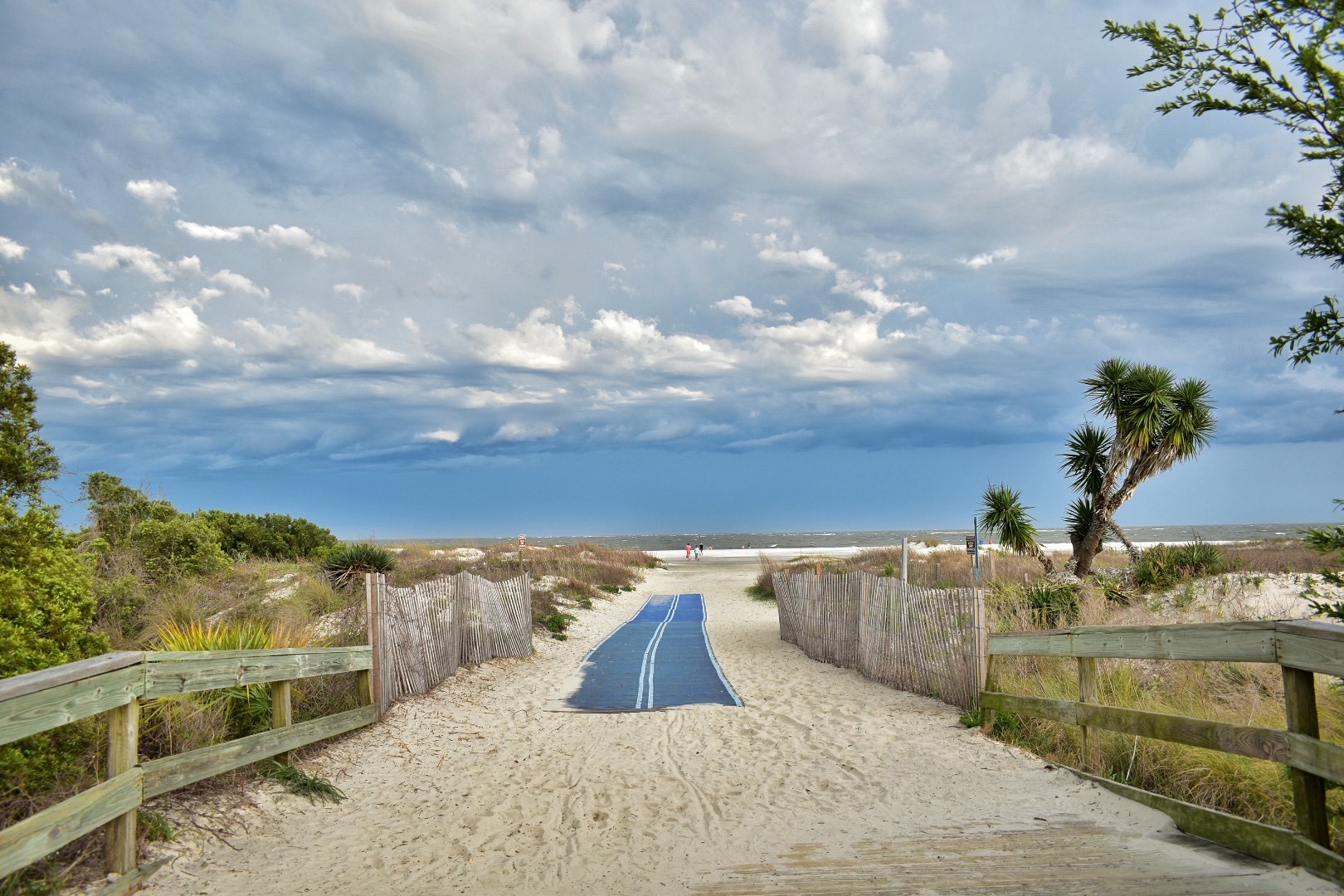
Tides on St. Simons Island follow a predictable pattern, influenced by the island’s geographical features and its position within the broader coastal ecosystem. The Atlantic Ocean, stretching out to the east, serves as the stage for the tides’ performance, while the intricate network of marshes, estuaries, and inlets on the island’s western shores adds complexity to the tidal dynamics.
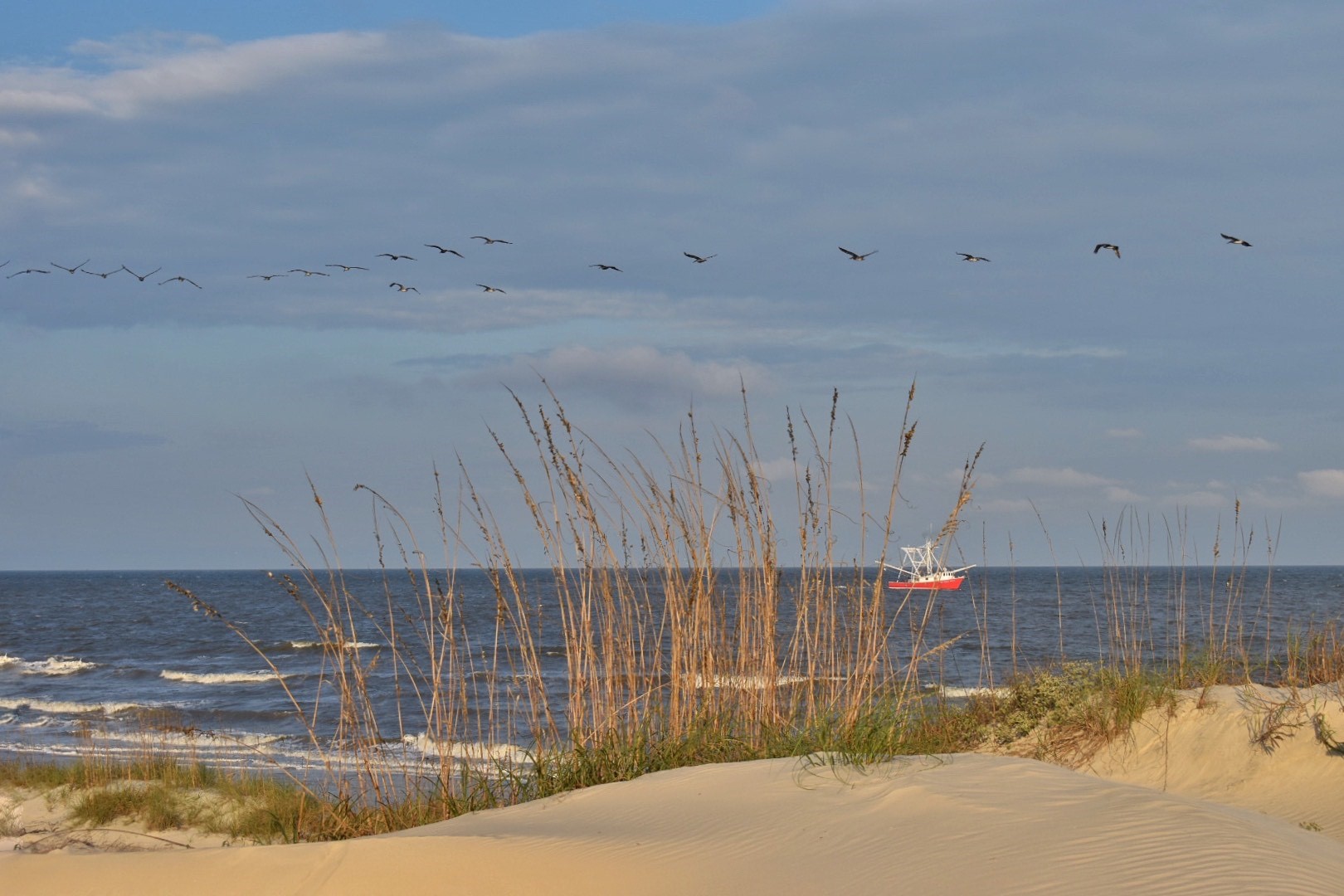
The tides of St. Simons Island typically undergo two high tides and two low tides each day, each approximately six hours apart. The typical difference between high and low tide in water depth is approximately seven feet. These tidal fluctuations create a dynamic environment that profoundly influences the island’s ecosystem, shaping the behavior of its wildlife and sculpting its sandy shores.
During high tide, the waters encroach upon the island’s beaches, lapping at the feet of weathered driftwood and seagrass-draped dunes. At this time, the marshes and tidal creeks brim with life as nutrient-rich waters flood the coastal wetlands, providing essential habitat for an array of creatures, from wading birds to fiddler crabs.
Conversely, low tide reveals a different side of St. Simons Island, unveiling expansive stretches of tidal flats and sandbars. Beachcombers eagerly comb the exposed shores for treasures brought in by the receding waters.
Local Tide Charts
The ebb and flow of tides on St. Simons Island are not merely a spectacle to behold but a vital force that shapes the island’s identity and sustains its delicate coastal ecosystem. As visitors and locals alike marvel at the mesmerizing ballet of the tides, they bear witness to the timeless rhythm of nature that continues to shape this enchanting island paradise.
For current tide charts on St Simons Island, visit here.